
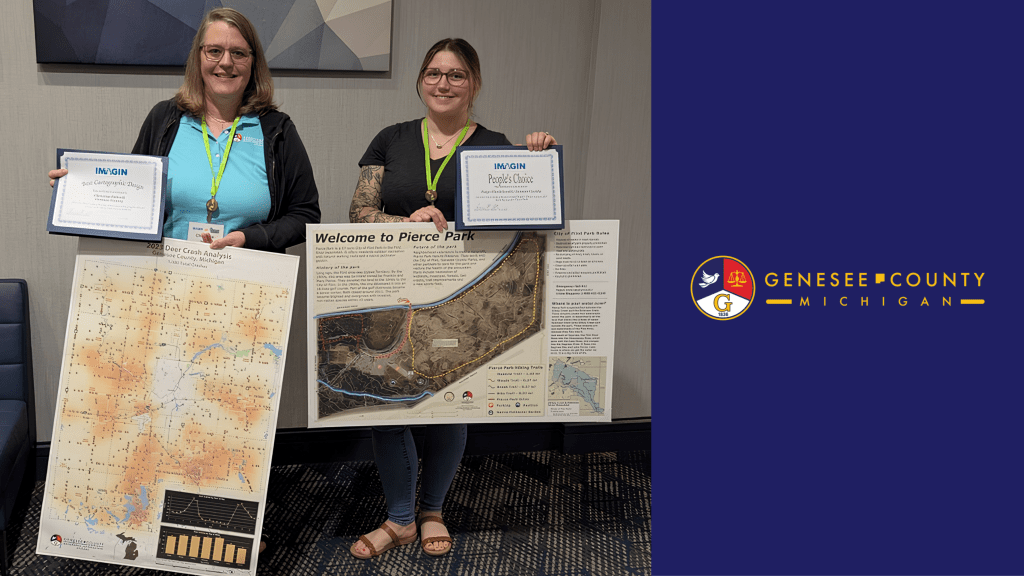
When most people hear Geographic Information Systems (GIS), they probably think of maps. But in Genesee County, GIS is much more than that.
The Genesee County GIS Department provides the geographic data, technology, and expertise that help County departments and residents make informed decisions, respond to emergencies, plan infrastructure projects, manage property information, and deliver essential services. While much of that work happens behind the scenes, its impact reaches nearly every corner of the organization.
GIS combines maps with data to help identify trends, answer complex questions, and support better decision-making. Genesee County began its move toward digital mapping in 1985 and officially established the GIS Department in 2004. Today, the department maintains more than 140 layers of geographic data, including property parcels, roads, waterways, school districts, voting precincts, addresses, emergency response information, and aerial photography.
One of the department’s biggest responsibilities is maintaining the County’s digital parcel maps. The system includes approximately 132,000 Genesee County parcels maintained by the Equalization Department, along with nearly 57,000 City of Flint parcels provided annually. GIS also manages the County’s aerial imagery program, giving emergency responders, engineers, assessors, and other agencies detailed views of buildings, roads, utilities, and infrastructure without always needing to visit a location in person.
Residents benefit directly from that work as well. Online GIS tools allow the public to search property information, view aerial imagery, explore district boundaries, and access historical mapping resources from a computer or mobile device. The launch of FetchGIS in 2016 and the elimination of public access fees in 2022 made those resources available to everyone at no cost.
The GIS team has also supported some of Genesee County’s most important initiatives, including mapping during the Flint Water Emergency, development of COVID-19 dashboards, implementation of Next Generation 911, election district updates, and preservation of historical aerial imagery.
Whether first responders are navigating an emergency, engineers are planning improvements, public works crews are maintaining infrastructure, or residents are researching a piece of property, GIS provides the geographic foundation that helps make it possible.
Behind every map is a team connecting people, places, and data — helping Genesee County make smarter decisions, improve services, and better understand the community it serves.


Leave a Reply